Same Recipe, New Region
We built and explored a coastal DEM for Newport, Oregon.
Now we will reuse the same workflow in a very different setting:
Sarasota, Florida
keep the reusable recipe
          +
change the local pieces
          ↓
new coastal DEM
We will launch Sarasota and then leave it running while we move to Module 5.
1. Move to Sarasota
Our Sarasota study area is:
West:  -82.59
East:  -82.53
South:  27.28
North:  27.34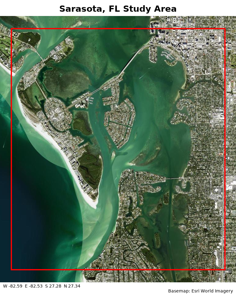
Sarasota, Florida Study Area. The red box shows the DEM area.
Compared with Newport, Sarasota is a low-relief Gulf coast with shallow nearshore waters.
The setting changes substantially.
The workflow does not need to start over.
2. Change only what is local
Keep:
coupling-bathy-topo
-P epsg:4269+5703
-X 6:5
-E 0.1111111s
Change:
study-area bounds
local DAV dataset
output name
output directory
shared-cache locationNewport → Sarasota comparison
| Setting | Newport | Sarasota |
|---|---|---|
| Region | -124.10/-124.00/44.59/44.64 | -82.59/-82.53/27.28/27.34 |
| National bundle | coupling-bathy-topo | coupling-bathy-topo |
| Local DAV dataset | 9693 | 10196 |
| Output name | newport | sarasota |
| Output directory | ~/workshop/newport_dem | ~/workshop/sarasota_dem |
| Prepared cache | ~/workshop/newport_data | ~/workshop/sarasota_data |
| Resolution | ~1/9 arc-second | ~1/9 arc-second |
| Combined reference system | epsg:4269+5703 | epsg:4269+5703 |
| Tile overlap / source buffer | -X 6:5 | -X 6:5 |
The reusable scientific recipe stays the same. The study area, local data, and output locations change.
3. Find the Sarasota lidar
Open NOAA Digital Coast DAV for Sarasota
Need a reminder for finding the DAV dataset ID?
In the dataset details:
Scroll to Bulk Download.
Click Link to All Dataset Files.
Find the number near the end of the URL:
.../XXXXX/index.html
      ↑
  dataset ID
Then use:
dav:survey_id=XXXXX,weight=100Reveal the Sarasota dataset
2024 USACE FEMA Topobathy Lidar: Post Hurricane Milton, FL
DAV dataset ID:
10196Local source:
dav:survey_id=10196,weight=100Newport used 9693; Sarasota uses 10196. The source syntax stays the same.
4. Launch the Sarasota build
Run:
globato build \
  -R -82.59/-82.53/27.28/27.34 \
  -X 6:5 \
  -P epsg:4269+5703 \
  -E 0.1111111s \
  -O sarasota \
  -D ~/workshop/sarasota_dem \
  --shared-cache ~/workshop/sarasota_data \
  coupling-bathy-topo \
dav:survey_id=10196,weight=100If the Sarasota directories are missing
Rerun:
bash ~/shared/setup_workshop.shThen confirm:
ls -ld ~/workshop/sarasota_data ~/workshop/sarasota_demSneak peek: Sarasota DEM
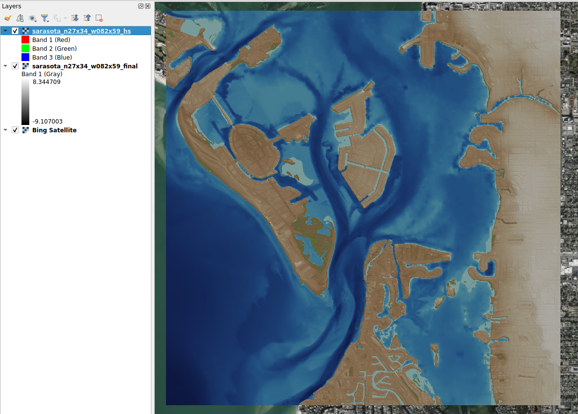
Sarasota coastal DEM. Module 5 will return to this DEM after evaluating Newport with IVERT.
The takeaway
same recipe + new local choices = new local DEMYou changed the study area, local lidar, and output locations while keeping the reusable coastal recipe and core processing settings.
The Sarasota build shows how the same workflow can be transferred to a new coastal region by changing only the local choices.
Next, we ask the question that matters after any DEM is built:
How well does it agree with independent observations?
Next: Module 5 — Evaluate the DEMs with IVERT