Ivert
 Documentation
 Releases on PyPi
 Releases on Conda-Forge
 Source in Github
 Zulip Chat
ICESat-2 Validation of Elevations Reporting Tool
IVERT validates Digital Elevation Models (DEMs) by comparing their elevations against ICESat-2 satellite photon data. It supports topographic, bathymetric, and mixed coastal DEMs, runs fully offline on any machine, and handles vertical datum conversions automatically.
Set up IVERT’s data directories and credentials (run once on a new machine) This creates the local ~/.ivert data directories and checks your ~/.netrc for NASA Earthdata Login credentials, offering to save them if they are not already present. Earthdata credentials are required to download ICESat-2 data (register for a free account).
$ ivert setupDownload ICESat-2 photon data for your area (bounding box in W/E/S/N order):
$ ivert database download -- -82.6/-82.5/27.25/27.35Validate your DEM:
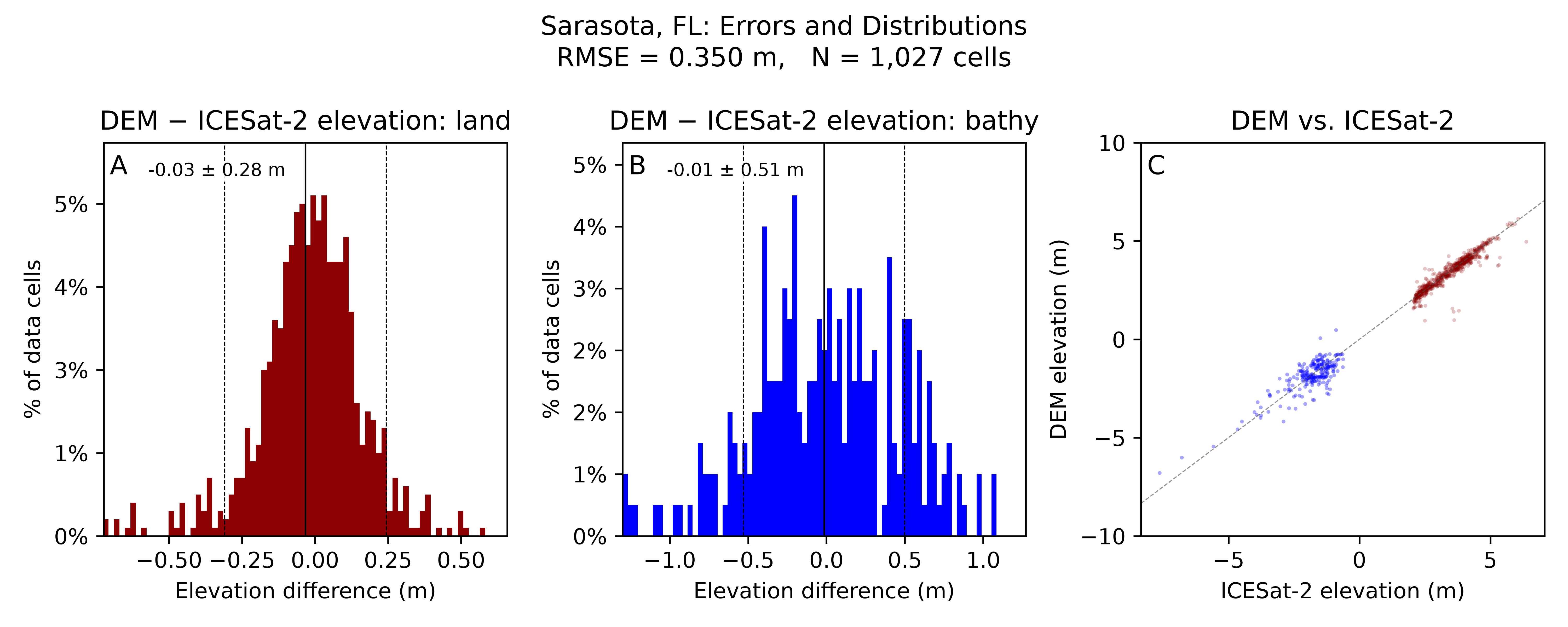
$ ivert validate sarasota_dem.tif -n "Sarasota, FL"Check the output directory for sarasota_dem_results.h5, a validation plot (.png), and error exports (.tif, .gpkg).