 Documentation
 Releases on PyPi
 Releases on Conda-Forge
 Source in Github
 Zulip Chat
Globato is the user-facing geospatial engine of the Continuous-DEMs ecosystem. It is designed for the rapid development, blending, and processing of high-accuracy Topo-Bathy Digital Elevation Models (DEMs).
Built on top of the fetchez (orchestration) and transformez (horizontal and vertical datums) libraries, globato abstracts away the complexity of DEM development. It allows users to generate massive, seamless DEMs using declarative YAML recipes, intuitive command-line tools, or a python API.
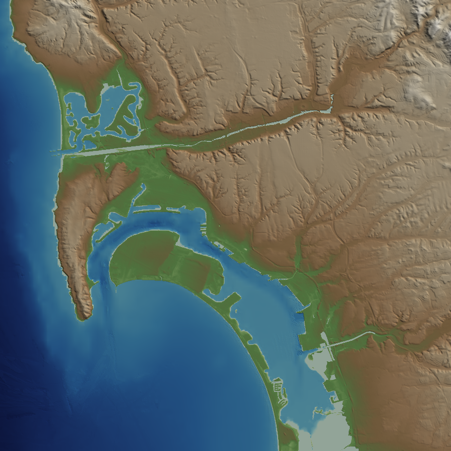
globato build -R loc:"San diego, ca" -E 1s -O san_diego -P epsg:4326+5703 -X 10:6 --shared-cache sd_data --outdir sd_dem crm-bathy-topo